Site Map
San Carlos Beach Park is one of Site Map.

1. San Carlos Beach Park

8.5
Cannery Row & Reeside Ave, モントレー, CA
公園 · Cannery Row · 6個のヒントとレビュー
Coyote Point Public Marina is one of Site Map.

2. Coyote Point Public Marina

Coyote Point, サンマテオ, CA
港またはマリーナ · Shoreview · Tipまたはレビューなし
Southeast Side Vista Point is one of Site Map.

3. Southeast Side Vista Point

7.6
Golden Gate Bridge (Hwy 101), サンフランシスコ, CA
展望台 · Presidio National Park · 24個のヒントとレビュー
Bean Hollow State Beach is one of Site Map.

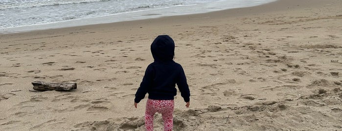
4. Bean Hollow State Beach

8.8
11300 Cabrillo Hwy, Pescadero, CA
海岸 · 10個のヒントとレビュー
Point Bonita Lighthouse is one of Site Map.

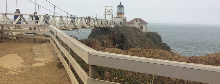
5. Point Bonita Lighthouse

9.0
End of Field Rd (Marin Headlands), サウサリート, CA
灯台 · 31個のヒントとレビュー
Robin Sweeny Park is one of Site Map.

6. Robin Sweeny Park
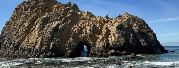
サウサリート, CA
公園 · 2個のヒントとレビュー
Pfeiffer Beach is one of Site Map.

7. Pfeiffer Beach

9.0
Sycamore Canyon Road Big Sur (at Highway 1), Big Sur, CA
海岸 · 32個のヒントとレビュー
Pfeiffer Big Sur State Park is one of Site Map.

8. Pfeiffer Big Sur State Park

9.3
47225 Pfeiffer Big Sur (at Cabrillo Hwy), Big Sur, CA
州立または県立公園 · 28個のヒントとレビュー