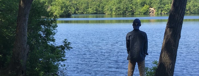
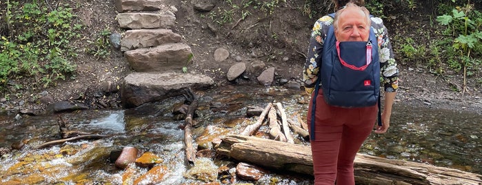
Trails
Boulder Creek Path is one of Trails.

1. Boulder Creek Path

8.5
ボルダー, CO
ハイキングコース · East Boulder · 9個のヒントとレビュー
Eldorado Canyon State Park is one of Trails.

2. Eldorado Canyon State Park

9.2
9 Kneale Rd., Eldorado Springs, CO
州立または県立公園 · 14個のヒントとレビュー

Examiner.comExaminer.com: This place is fun for everyone, the Stream Side Trail has wheelchair access and an incredible view, for a long hike try the 1.4-mile Rattlesnake Loop. 続きを読む
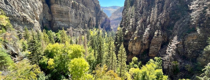
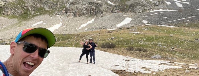
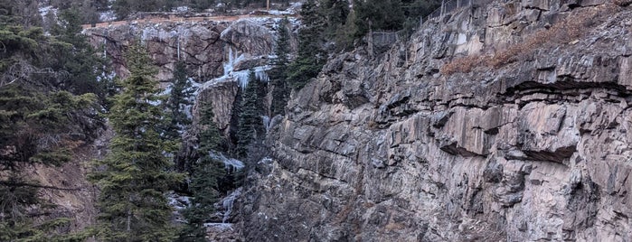
Maroon Bells Guide & Outfitters is one of Trails.

3. Maroon Bells Guide & Outfitters

9.0
3133 Maroon Creek Rd, アスペン, CO
展望台 · 10個のヒントとレビュー
Rio Grande Trail is one of Trails.

4. Rio Grande Trail

7.7
アスペン, CO
ハイキングコース · 2個のヒントとレビュー
Hanging Lake Trailhead is one of Trails.

5. Hanging Lake Trailhead

8.8
51871 Highway 6, グレンウッド・スプリングス, CO
ハイキングコース · 5個のヒントとレビュー

Dave G.Dave G: Skip the gym and take on this moderate challenge. The end result is worth the effort... Trust me. And don't forget your camera!
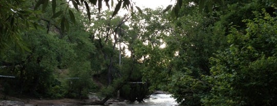
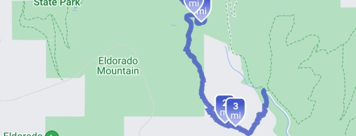
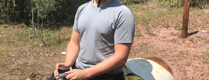
Box Canyon Park is one of Trails.

6. Box Canyon Park

7.8
Box Canyon, Ouray, CO
ハイキングコース · 7個のヒントとレビュー
Bear Creek Trail is one of Trails.

7. Bear Creek Trail

8.0
S Pine St, Telluride, CO 81435, United States, Telluride, CO
ハイキングコース · 1件の Tip

Jennifer M.Jennifer Milano: Beginning at an elevation of 7,900 feet and ending at 9,200 feet, this eight-mile, easy-to-moderate trail allows hiking, horseback riding and trail biking as the only forms of transportation.

Mayflower Gulch (39.43080°N / 106.1661°W) is one of Trails.

8. Mayflower Gulch (39.43080°N / 106.1661°W)

(Summit County), Copper, CO
ハイキングコース · Tipまたはレビューなし
Platte River Trail is one of Trails.

9. Platte River Trail

7.8
from Chatfield Dam (to north of Denver), デンバー, CO
ハイキングコース · LoDo · 14個のヒントとレビュー

National Wildlife FederationNational Wildlife Federation: Wildlife watch for American Kestrel (Falco sparverius) 続きを読む

Miller's Pond State Park is one of Trails.

10. Miller's Pond State Park

7.1
344 Foot Hills Rd, Higganum, CT
州立または県立公園 · 2個のヒントとレビュー