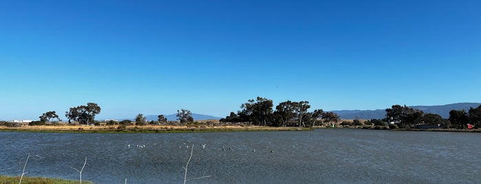
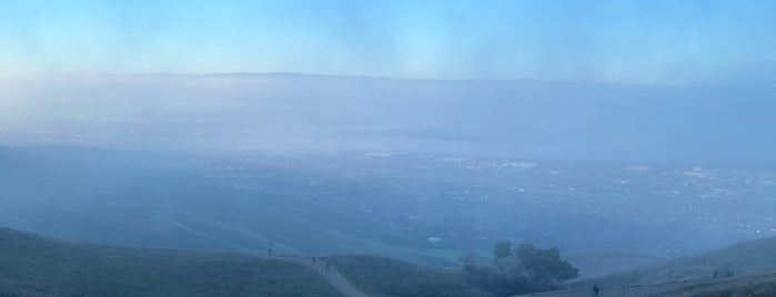
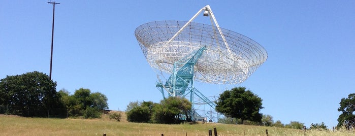
hiking
Rancho San Antonio County Park is one of hiking.

1. Rancho San Antonio County Park

9.2
Rancho San Antonio Open Space Preserve, ロスアルトス, CA
公園 · 59個のヒントとレビュー
Mission Peak Regional Preserve is one of hiking.

2. Mission Peak Regional Preserve

8.8
2000 Stanford Ave, フリーモント, CA
ハイキングコース · 54個のヒントとレビュー
Stanford Dish Trail is one of hiking.

3. Stanford Dish Trail

9.2
2390 Stanford Ave (at Junipero Serra Blvd), Stanford, CA
ハイキングコース · 83個のヒントとレビュー

Stanford UniversityStanford University: A 150 ft radio telescope gathers intergalactic data and marks the halfway point for this 3.3 mile hiking trail with challenging hills and inspiring views. 続きを読む
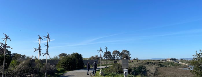
San Francisquito Creek Trail is one of hiking.

4. San Francisquito Creek Trail

7.1
Baylands Nature Preserve (at Geng Rd), East Palo Alto, CA
ハイキングコース · 3個のヒントとレビュー
Shoreline Interpretive Trail is one of hiking.

5. Shoreline Interpretive Trail

8.8
Terminal Blvd (at San Antonio Rd), マウンテンビュー, CA
ハイキングコース · 8個のヒントとレビュー
Stevens Creek Shoreline Nature Study Area is one of hiking.

6. Stevens Creek Shoreline Nature Study Area

Ames Research Center Access Trail (at SF Bay Trail), マウンテンビュー, CA
自然保護地区 · Tipまたはレビューなし
Enid W. Pearson Arastradero Open Space Preserve is one of hiking.

7. Enid W. Pearson Arastradero Open Space Preserve

8.8
1530 Arastradero Rd, パロアルト, CA
自然保護地区 · 15個のヒントとレビュー
Monte Bello Open Space Preserve is one of hiking.

8. Monte Bello Open Space Preserve

8.5
Page Mill Rd, パロアルト, CA
自然保護地区 · 7個のヒントとレビュー